
Rain Sherman-Ada, Weather Waco & Severe Storms Kansas City
Founder & Editor-in-Chief: Mike Penrod
United States ·
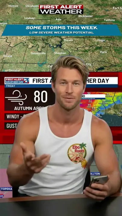
Our best chances for rain & storms looks to be Wednesday into Thursday. FIRST ALERT WEATHER DAY Friday Gusts 35+ mph with early AM cold front. The Kansas City area is included in a severe thunderstorm watch until 11 p.m.
The real weather story
- Our best chances for rain & storms looks to be Wednesday into Thursday.
- FIRST ALERT WEATHER DAY Friday Gusts 35+ mph with early AM cold front.
- The Kansas City area is included in a severe thunderstorm watch until 11 p.m.
Read the full script
Hey, it's Tom. Storms and a sharp cool-down are lining up from Texas into Kansas City. Right now, KXII 12 in Sherman-Ada reports rain and storms have their best chance from Wednesday into Thursday, and there could be some severe weather, though those chances remain low overall. The I 35 corridor looks to have the best chance of heavier rains or severe weather. KBTX News in Waco reports: Meanwhile, Friday is a First Alert Weather Day as gusts of 35 miles per hour or more arrive with an early morning cold front. It stays windy through Saturday, with a high around 80 and upper 50s Saturday morning, and drivers should watch dust on Highway 6. KSHB 41 News in Kansas City reports: Elsewhere, the Kansas City area is under a severe thunderstorm watch until 11 p.m. Tuesday, according to the National Weather Service. This is Tom. Credits and photos are tagged below.
Beach cam
Here are our news sources
- @KXII12News #WeatherWTF
- @KBTXNews #WeatherWTF
- @KSHB41 #WeatherWTF